
Read the full article on KETV 7
Winter storm power outage tracker: Check your county’s status
Could you eat for 3 days without cooking? That is the question I want you to ask yourself ahead of this winter storm. Here’s what FEMA says you need to have on hand just in case you lose power. First, always follow guidance from your local officials and emergency management, but generally FEMA recommends having at least *** 3 day supply of food that is safe and easy to eat if the power goes out. So that means shelf stable foods that don’t require. Cooking or *** lot of prep. So think canned items like tuna, chicken, fruits, vegetables, beans, also things like peanut butter, bread, protein bars. Go ahead and check what’s already in your pantry first before you go out and buy anything. And also find your can opener now. Now if you want to cook your food, FEMA says things like candle warmers, chafing dishes, fondue pots, or fireplaces are safe to use during an emergency. But when it comes to Things like *** portable grill, *** camping stove, also your generators, those need to go outside. Carbon monoxide poisoning is extremely dangerous. It can kill you. For water, FEMA recommends 1 gallon per person per day, and that may sound like *** lot, but it’s meant to cover drinking and basic hygiene, so things like brushing your teeth and washing your hands. This is *** basic starting point, and we’re sharing more detailed guidance on our website. So head there for our full checklist.
Advertisement
Winter storm power outage tracker: Check your county’s status

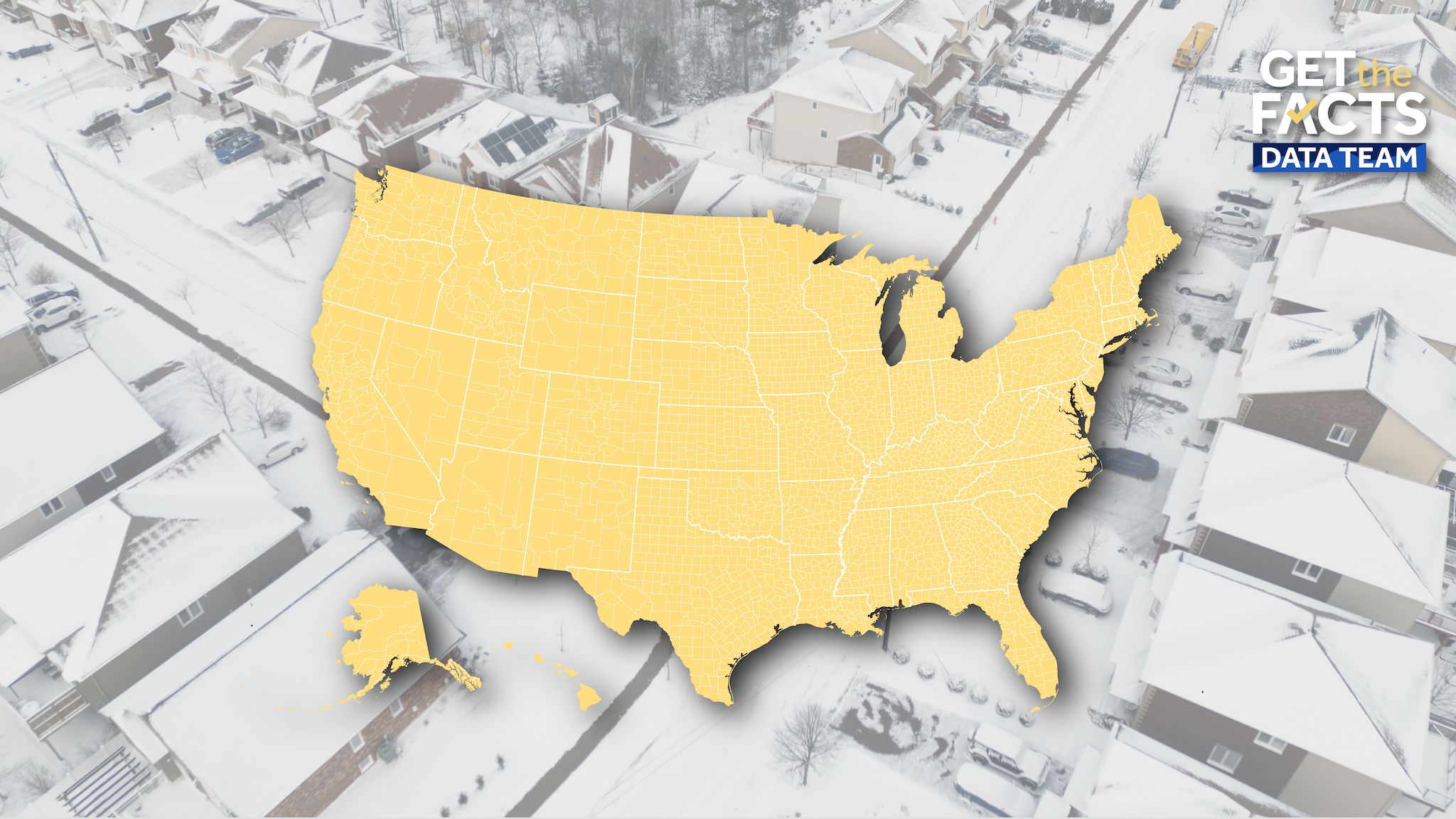
A powerful winter storm is bringing blizzard conditions to the northeastern United States. The Get the Facts Data Team is tracking power outages by county. The data comes from PowerOutage.com and tracks outages for homes and businesses. Data will update throughout the day in the maps below.National MapMassachusettsNew JerseyDelawareMarylandNew York PHNjcmlwdCB0eXBlPSJ0ZXh0L2phdmFzY3JpcHQiPiFmdW5jdGlvbigpeyJ1c2Ugc3RyaWN0Ijt3aW5kb3cuYWRkRXZlbnRMaXN0ZW5lcigibWVzc2FnZSIsKGZ1bmN0aW9uKGUpe2lmKHZvaWQgMCE9PWUuZGF0YVsiZGF0YXdyYXBwZXItaGVpZ2h0Il0pe3ZhciB0PWRvY3VtZW50LnF1ZXJ5U2VsZWN0b3JBbGwoImlmcmFtZSIpO2Zvcih2YXIgYSBpbiBlLmRhdGFbImRhdGF3cmFwcGVyLWhlaWdodCJdKWZvcih2YXIgcj0wO3I8dC5sZW5ndGg7cisrKXtpZih0W3JdLmNvbnRlbnRXaW5kb3c9PT1lLnNvdXJjZSl0W3JdLnN0eWxlLmhlaWdodD1lLmRhdGFbImRhdGF3cmFwcGVyLWhlaWdodCJdW2FdKyJweCJ9fX0pKX0oKTs8L3NjcmlwdD4=
A powerful winter storm is bringing blizzard conditions to the northeastern United States.
The Get the Facts Data Team is tracking power outages by county. The data comes from PowerOutage.com and tracks outages for homes and businesses. Data will update throughout the day in the maps below.
Advertisement